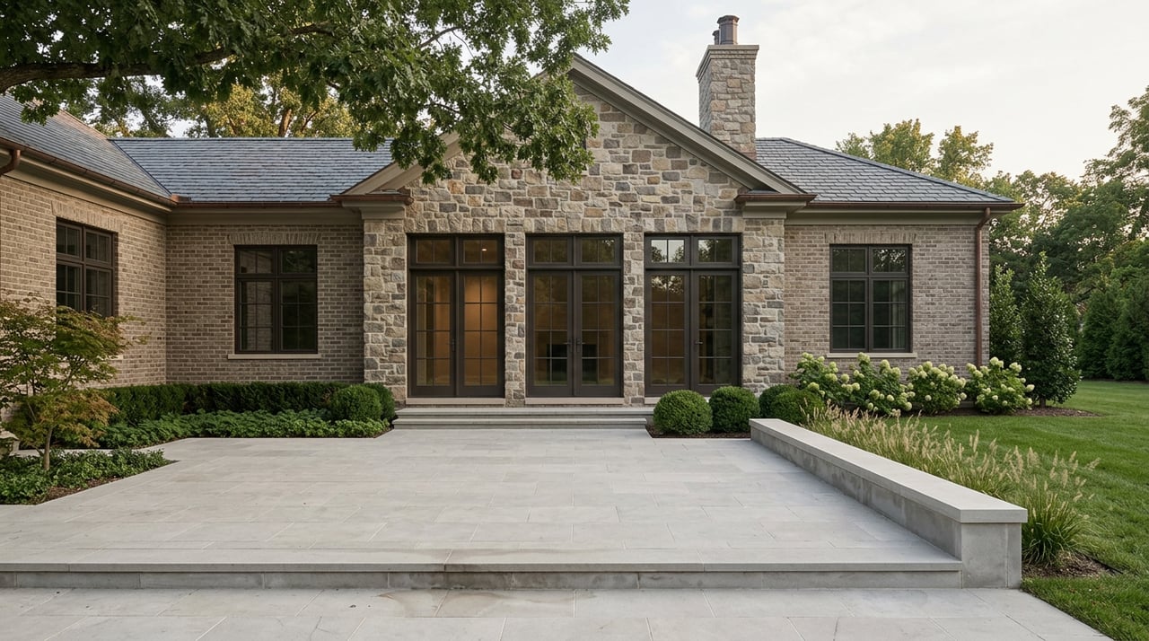
Thinking about a tear-down or a land buy in Alpine? The upside can be exceptional, but the rules here are strict and the terrain is not always simple. If you want your numbers to hold, you need to size up zoning, slopes, utilities, and permits before you write an offer. This guide gives you a clear, practical framework to evaluate risk and potential so you can move with confidence. Let’s dive in.
Why Alpine due diligence is different
Alpine is a small, high-value borough with very large minimum lot sizes and low allowable coverage. That combination protects neighborhood character but it also limits what you can build and how aggressively you can regrade a site. Local ordinances speak directly to steep slopes, soil movement, and stormwater, which means most projects need engineered plans and careful phasing.
If you understand these controls up front, you can decide fast whether a parcel supports your program or if it will need costly variances. Two documents shape most early decisions: Alpine’s bulk table and its steep-slope and soil-movement rules.
Start with zoning, coverage, and height
Your first stop is the bulk schedule. It lists minimum lot area, frontage, setbacks, maximum height, and stories by zone. For example, the R‑A district requires a minimum lot area of 87,120 square feet, which is 2 acres. Use this table to confirm whether a lot can be subdivided and how large a replacement home can be without relief. You can review the borough’s “Schedule Limiting Height and Bulk of Buildings” for exact numbers in each zone.
Coverage caps matter just as much as setbacks. Alpine limits both maximum building coverage and maximum improved lot coverage by zone. Those limits will define the permissible footprint and how much hardscape you can add for driveways, courts, and pools. Before you draw anything, confirm the zone’s coverage rules and how they apply to your concept.
- Reference: Review the borough’s bulk schedule for minimums and the code section with coverage definitions and limits.
Map slopes before you price demo and grading
Alpine uses slope bands to control disturbance. Slopes are broken into 0 to 14.9 percent, 15 to 24.9 percent, 25 to 34.9 percent, and 35 percent or greater. Allowed disturbance drops as slope increases. In the steepest band of 35 percent or more, disturbance is not permitted. Applications must include a topographic survey with two-foot contours and calculations of slope areas.
This is where many projects live or die. If a large share of the buildable area falls in bands above 15 percent, you should plan for terracing, retaining walls, and upgraded drainage. Order a current topo and have a civil engineer overlay the borough’s slope bands before you finalize your offer. See Alpine’s steep-slope and disturbance rules for details.
- Reference: See slope categories, disturbance limits, and topo submission requirements in the borough code.
Plan for drainage and stormwater compliance
Because Alpine has rocky soils and steep ground, engineered drainage and erosion control are standard. In key residential zones, site drainage must address at least a 50-year design storm. Larger projects that meet “major development” thresholds must comply with Chapter 190, which implements modern groundwater recharge, water quality, and runoff controls. Expect the need for a site development stormwater plan, and for major projects, a recorded maintenance or deed notice for stormwater facilities.
- Reference: Review drainage and erosion control language and Chapter 190 stormwater management requirements before final design.
Expect a soil movement permit and tree protection
Significant earthwork triggers a soil-movement permit. If you plan to import or export over 1,000 cubic yards or make major grade changes, Planning Board review is likely. The rules require engineered cross sections, erosion control plans, stockpile limits, and clear restoration steps. You cannot bury large boulders or stumps on site. Tree protection and restitution for unauthorized removals appear in the same regulatory framework, which can shape driveway and pool placement.
- Reference: See soil-movement and tree protection requirements that apply to excavation, blasting, and site restoration.
Confirm sewer versus septic early
Public sewer access can make or break a pro forma. Start with the NJDEP Statewide Sewer Service Area mapping for the Bergen County Utilities Authority. Parcels outside a mapped SSA often require individual subsurface disposal, which adds design, reserve area, and maintenance costs and can limit your build area. Some properties have required SSA amendments to connect, which is time-consuming and expensive. Verify with the utility if there is capacity and a practical route to connect.
- Reference: Use the NJDEP SSA mapping resource for an initial screen and confirm with the local wastewater authority.
Check flood hazards and wetlands
Pull a FEMA FIRMette and review NJDEP flood hazard mapping. If a parcel sits in a Special Flood Hazard Area or within a regulated riparian corridor, you may face elevation, mitigation, and permit requirements. That can affect timelines, construction methods, and lending. You can start with FEMA’s New Jersey resources, then coordinate with your engineer for parcel-level verification.
- Reference: FEMA’s New Jersey page provides links to mapping and NFIP participation details.
A step-by-step Alpine parcel checklist
Use this quick sequence to size up a site before you commit capital:
- Title and restrictions
- Order a current title report and request all recorded easements or deed restrictions. Look for stormwater, access, conservation, or view easements that could limit development.
- Zoning and nonconformity
- Confirm the zoning district and bulk standards. If the existing structure is nonconforming, understand how a replacement will be treated under local rules.
- Two-foot topo and slope analysis
- Commission a current survey with two-foot contours and slope band calculations. If a large share of the site lies above 15 percent slope, expect reduced disturbance and higher costs.
- Geotechnical borings
- Obtain bore logs to evaluate rock, soil bearing, and potential need for blasting or specialized foundations.
- Sewer or septic path
- Check the NJDEP SSA mapping and call the local utility to confirm availability, capacity, and connection terms.
- Flood hazard and riparian review
- Pull a FEMA FIRMette and review NJDEP flood hazard layers. Note any elevation or permit triggers.
- Wetlands screening
- If onsite wetlands or buffers appear likely, plan for a delineation and discuss permitting with your engineer.
- Trees and landscape constraints
- Review tree-removal rules and potential replacement obligations. Factor this into driveway and pool siting.
- Access and utilities
- Confirm driveway grades, curb cut requirements, and the need for street improvements or retaining walls.
- Environmental and demolition compliance
- For older homes, schedule an asbestos inspection. If regulated materials are present, follow state notification and licensed abatement protocols.
- Prior permits and approvals
- Request past permits, COs, as-builts, and stormwater records to identify existing easements or conditions that carry forward.
Approvals and likely timeline
A pre-application meeting with the Borough is a smart early move. Bring your topo, a preliminary concept, and questions on steep slopes, stormwater, and sewer.
Typical approvals for a tear-down and new home include:
- Soil movement permit. Planning Board review applies to larger earthwork.
- Site plan or major development review if thresholds are met. Smaller single-family projects may proceed by building permits with zoning review.
- Zoning Board variances if you need relief for setbacks, height, coverage, or steep-slope disturbance.
- Demolition and building permits. The Construction Official enforces building and demolition rules, and demolition often requires proof of asbestos compliance before issuance.
- Stormwater management approval and any required deed notice for major development under Chapter 190.
- Any NJDEP permits for flood hazard or wetlands, if applicable.
Timelines vary by parcel. Straightforward projects on gently sloping lots with utility access can move in months. If you need variances, major site work, tree mitigation, or NJDEP permits, expect several months to a year or more from pre-application to final CO.
- Reference: See the borough’s enforcement and permitting authority, and Chapter 190 for stormwater procedures.
Key cost drivers you should quantify
Certain items will determine whether your tear-down pencils:
- Sewer availability versus septic. Connecting to an existing SSA with capacity is usually simpler and less costly than designing and maintaining septic.
- Rock and blasting. Bedrock near grade can spike excavation and foundation costs. Large earthwork may require Planning Board review and detailed engineering.
- Steep-slope mitigation. Terracing, retaining walls, and advanced drainage can add significant line items and reduce usable square footage.
- Stormwater BMPs and maintenance. Major development often requires permanent stormwater facilities and a recorded maintenance obligation.
- Tree mitigation. Protected trees and replacement plantings can affect layout and budget.
What makes a parcel promising in Alpine
Strong candidates tend to have these features:
- A large, flat building bench where most work occurs in the 0 to 14.9 percent slope band.
- Mapped sewer service nearby with available capacity and a practical route to connect.
- Clear title with minimal encumbrances and a history of permitted improvements.
- Coverage and setbacks that allow your target program without multiple variances.
Red flags to catch early
Watch for issues that can stall or stop a project:
- Slopes of 35 percent or more within the intended footprint, or large areas in the 25 to 34.9 percent band that cap disturbance.
- No feasible septic reserve area and no mapped SSA connection or a prohibitively costly route to connect.
- Wetlands, floodway, or regulated riparian corridors across the build area.
- Removal of large protected trees without a clear replacement strategy.
- Evidence of contamination, buried debris, or undocumented fills that trigger remediation.
Your first three moves
If a parcel looks interesting on paper, take these steps right away:
Order title and an ALTA survey. Request all recorded easements and any environmental liens.
Commission a topo and slope overlay. A two-foot contour survey with a quick civil walk-over will define your buildable envelope under Alpine’s rules.
Verify utilities and subsurface conditions. Check SSA mapping and utility capacity, schedule geotech borings, and run a preliminary drainage approach against Chapter 190 to budget stormwater.
If you are eyeing a demolition of an older home, schedule an asbestos inspection and plan for state notifications and licensed abatement as needed.
How we help you move from concept to close
In Alpine, success comes from combining elegant design intent with strict technical compliance. You need a partner who can read the site, anticipate the board’s questions, and position your finished product to command a premium. If you want a clear plan from acquisition through marketing and sell-out, let’s talk. Schedule a market strategy call with Taryn Byron to review a target parcel and outline a path forward.
FAQs
What zoning standards shape Alpine tear-downs?
- Alpine’s bulk schedule sets minimum lot size, setbacks, height, and coverage by zone, such as the R‑A district’s 2-acre minimum; use the schedule to confirm what can be built without variances.
How do Alpine’s steep-slope rules affect buildable area?
- Disturbance is limited as slopes increase, with no disturbance allowed at 35 percent or more; a two-foot contour topo and slope area calculations are required to demonstrate compliance.
Do I need Planning Board approval for a single new home?
- Many single-family projects proceed via building permits with zoning review, but larger earthwork, soil movement over thresholds, or major development triggers can require Planning Board review under site plan and soil-movement chapters.
How do I confirm sewer availability for an Alpine parcel?
- Start with NJDEP’s Statewide Sewer Service Area mapping for the local utility and then verify capacity and connection feasibility directly with the wastewater authority.
What permits are required before demolition in Alpine?
- You will need a demolition permit from the Construction Official and, for older structures, proof that regulated asbestos has been addressed under state rules before issuance.
References for further reading:
- Alpine bulk schedule, coverage, steep-slope, soil movement, and stormwater: Schedule Limiting Height and Bulk of Buildings, Coverage and soil-movement rules, Steep-slope and stormwater submissions, Chapter 190 Stormwater Management, and Construction Official authority.
- Sewer service screening: NJDEP SSA mapping resource.
- Flood mapping and NFIP: FEMA New Jersey resources.
- Demolition safety and asbestos: NJ Department of Labor PEOSH guidance.